Welcome to the Rudloe and environs website.
Here you will find news, articles and photos of an area that straddles the Cotswold Area of Outstanding Natural Beauty in north-west Wiltshire.
Contributions in the form of articles or photos are welcome. Even those with completely contrary views to mine!
Thanks to the website builder 1&1 and Rob Brown for the original idea.
Rudloescene now, in January 2014, has a sister, academic rather than anarchic, website about Box history here: http://www.boxpeopleandplaces.co.uk/
It contains thoroughly professional, well-researched articles about Box and its people.
Contact rudloescene through the 'Contact' page.
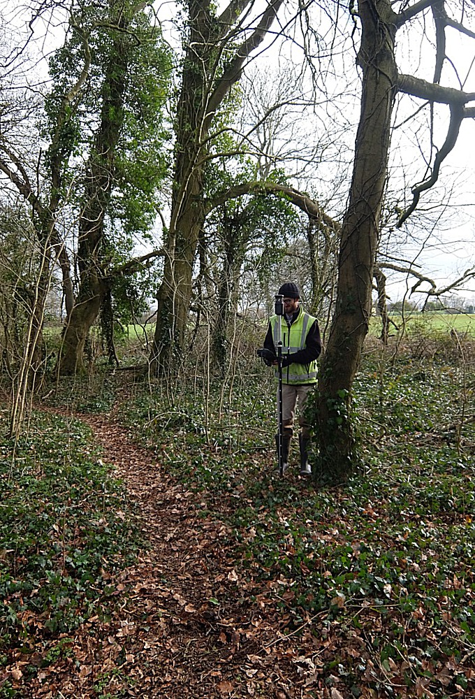
Rudloe walks in February 2019. One of the title pictures, taken on 11th February, shows 'man with theodolite' in Leafy Lane Wood taking readings for a commissioned report. Commissioned report I hear you say (is the rudloescene reader still out there?)! Commissioned by whom? Well, one presumes it can only be from the long-awaited purchaser of the woodland (and meadow) prior to the submission of a planning application for ... (to whom it may concern, I'm still waiting for that phone call). The other picture was taken in Skynet Drive on 24th February.
Two 'Box People' entered Rudloe without passports on 11th February 2019. Said people and yours truly ventured forth on a walkabout around Rudloe, Boxfields and Thorneypits to take in the sights. After the morning's sallying, lunch (or dinner as we call it in Rudloe) was taken at the Quarryman's before setting off to the south.
 Here's one of the stone plaques embedded in the walls of Rudloe Estate. Two are in Long Close Avenue and a third with the inscription 'What is a frigbob' is on the western side of the estate. So, what is a frigbob and where is the plaque?
 The view east from Rudloe Firs across Maidment's fields and the new Copenacre estate towards the Marlborough Downs
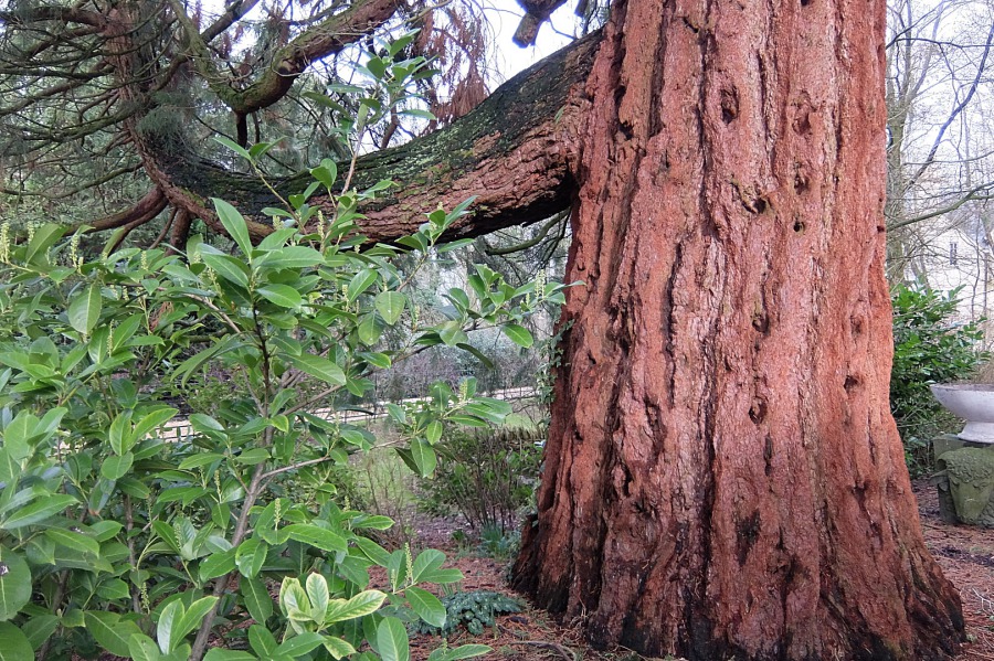 Marvellous redwood in the grounds of Rudloe Arms in a week when goings-on here made headlines in the national press
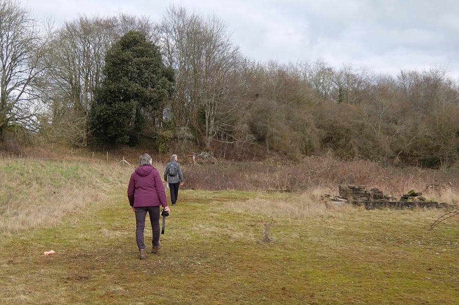 Here's some venturing forth going on in the grounds of the old Box Highlands School which closed in 1984
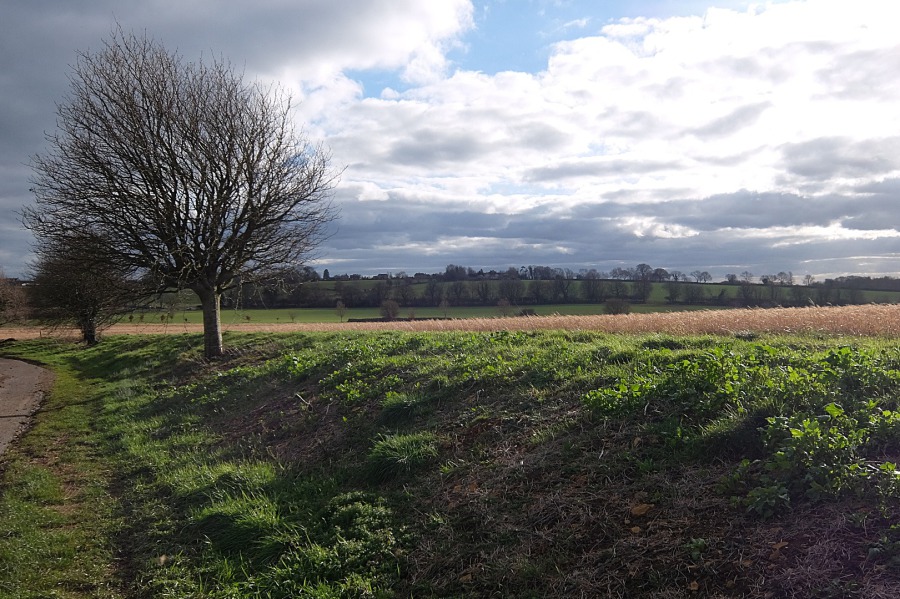 The afternoon sun casts shadows on the White Ennox Lane bank; whitebeams and winter barley complete the picture
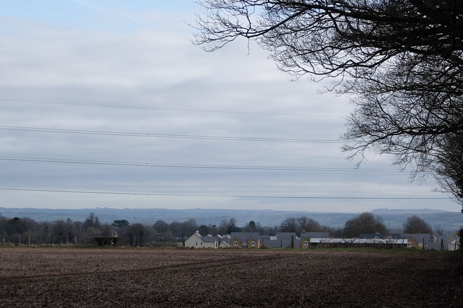
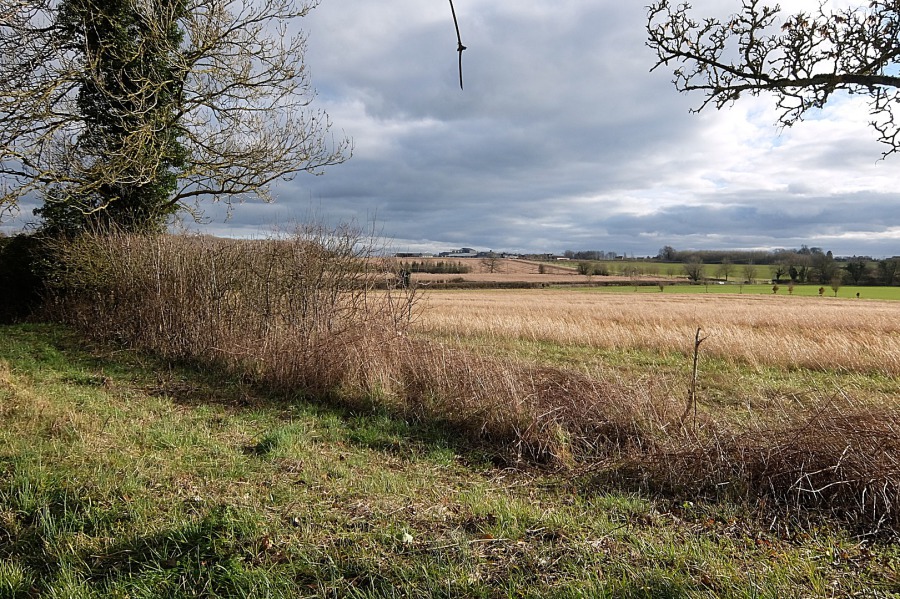 Wadswick Commercial and Agro-industrial Complex lies beyond the field of winter barley and the B3109
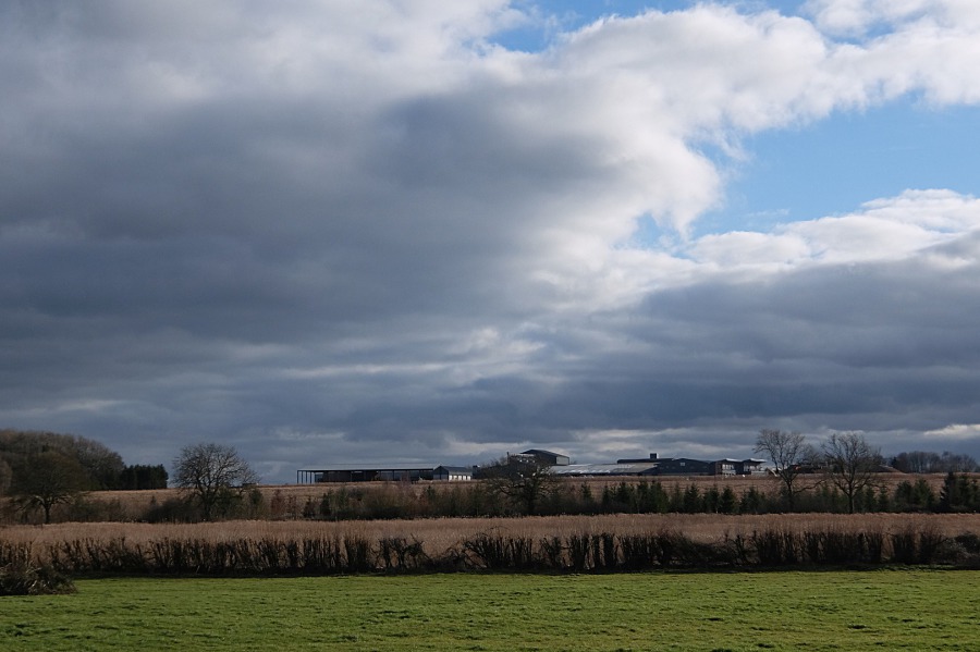 And here's a closer view of Wadswick Commercial and Agro-industrial Complex under a leaden sky
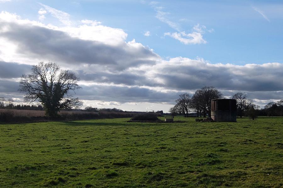 Just remnants of that leaden sky lie to the west with a Spring Quarry air shaft sitting in this Thorneypits field
 Part of the Royal Arthur Petty Officer Training School assault course on top of the Spring Quarry spoil heap slowly being reclaimed by nature
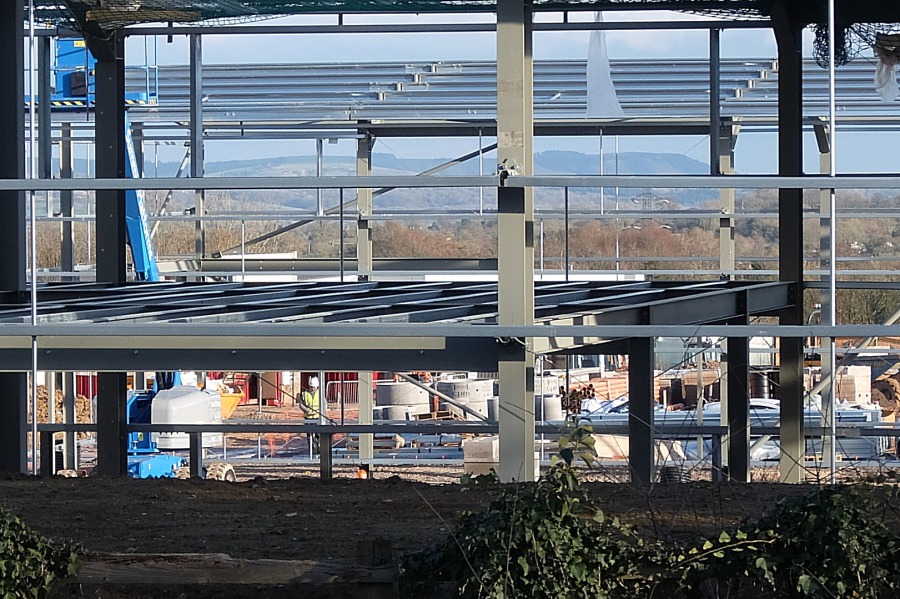
 Look at this or "Ark at'n" as locals might say; work continues on the fourth (?) of five (?) Ark Data centres at Spring Quarry. Here you may find (one of) the prominent, ubiquitous, amorphous Clouds which, no doubt, stores your data.
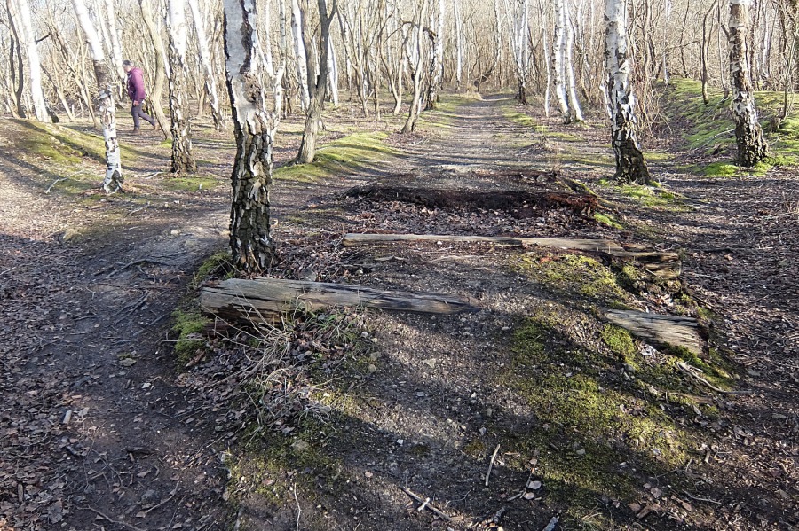
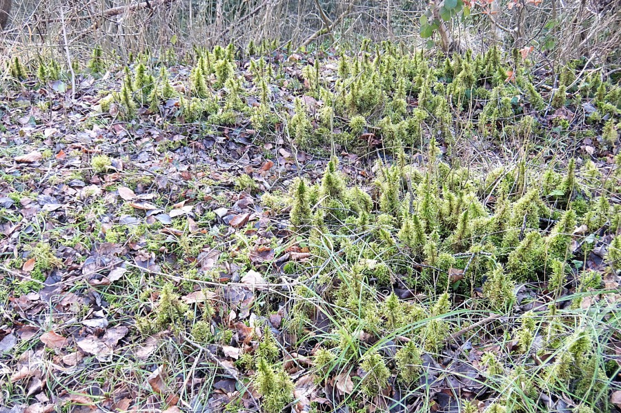 A moss 'forest' on the Spring Quarry spoil heap - we are still on the 11th February walkabout by the way.
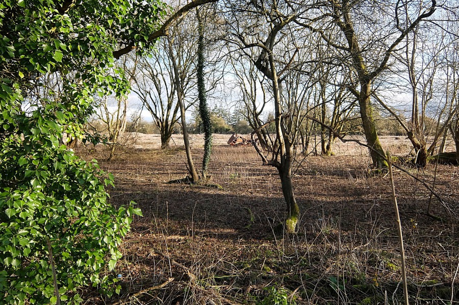 The Donkey Field at Westwells which, as with all green space twixt Corsham and outlying villages, is threatened with development
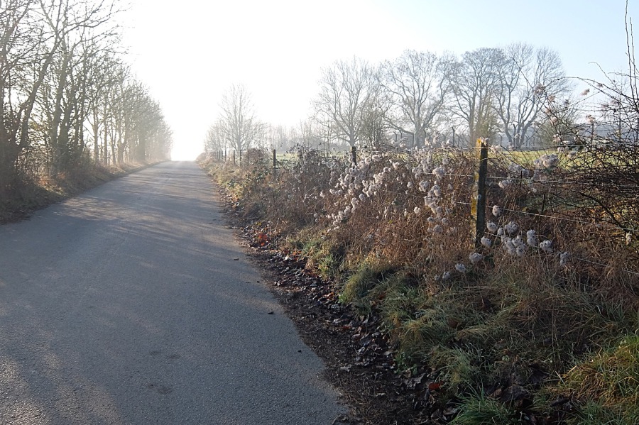
 Returning past ex-RAF Rudloe No 2 Site in Westwells Road. Much old man's beard in evidence along with mulberry trees (across the road)
 'We' agreed that the loss of this important view across the Clay Vale to the Marlborough Downs and Salisbury Plain to a 7.5-metre-high, steel clad monstrosity is a calamity not just for current Rudloeites but for future generations also
Let's move on a couple of weeks to Sunday, 24th February and another stroll around Rudloe on a misty morning
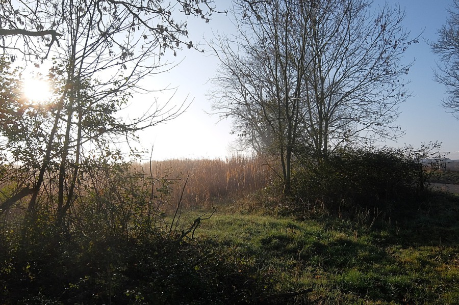 The sun rising over a rural corner of Rudloe twixt the Bradford Road and Skynet Drive on 24th February 2019
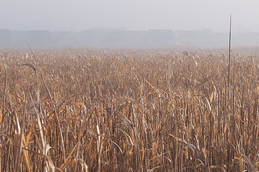
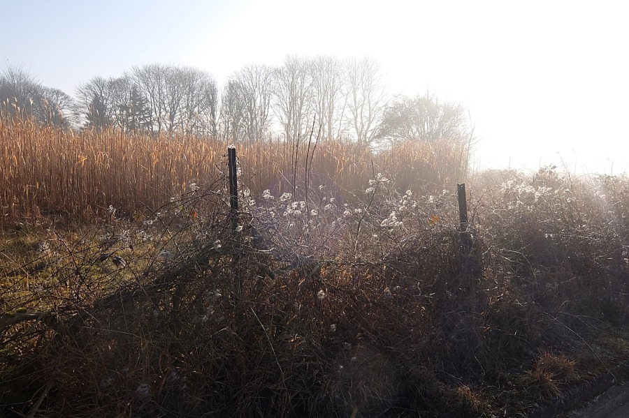
 A close-up of that rural corner where the elephant grass remains uncut unlike the crop further south at Wadswick
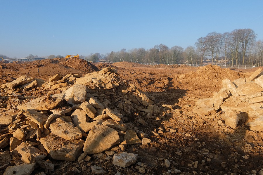 This (west) side of Skynet Drive is being lost to development. This surface limestone indicates the (former) importance of quarrying in this area. The small Brown's Quarry (latterly an RAF operations centre), a northern spur of Tunnel Quarry, lies beneath
The land where the 88-home Bellway development and the Bath ASU commercial development are taking shape (above) is owned by farmer Robert Payne of Colerne. As indicated in the paragraphs below, it seems that the power and wealth that landownership provides trumps any requirement to continue one's calling (i.e. farming).
 To the east of Skynet Drive, new development looms menacingly through the mist, advancing towards Rudloe across the 'strategic gap' (this 'gap' was supposed to prevent west Corsham linking to outlying settlements thus preventing a conurbation)
The maintenance of such strategic gaps as that between Corsham and outlying settlements was a significant plank in local (in the case of our strategic gap) and County strategic planning. The case for their maintenance could be found in Wiltshire Council Core Strategy and in the local case, Corsham Town Council Strategic Plan. I say 'could' as whilst this policy could be found in Corsham Town Council's Strategic Plan 2014-2018, which stated amongst its objectives:"To preserve an undeveloped gap between Corsham and outlying settlements, and between smaller, individual settlements", there is now no mention whatsoever of this objective in the Council's Strategic Plan 2018- 2022. So much for the value of local planning which can be seen to be so much hot air in the face of the power of unscrupulous landowners and speculative developers.
David Gibbons of Corsham, the owner of the land which constituted the strategic gap between Corsham and Rudloe (and shown in the photo above) is, or was, a member of Corsham Civic Society. It seems that the power and wealth that landownership confers trumps any and all questions of civic responsibility. Mr Gibbons' priorities are illustrated through a quote of his on the developer Redcliffe's website: “Redcliffe’s skill and expertise in dealing with the inevitable queries, potential setbacks and problems inspired great confidence and brought the whole thing to a very successful conclusion. We could not have been in better hands". Successful for him maybe but not for the countryside, the local farmer whose crops are now lost to development and the shattered local plans. The Redcliffe estate taking shape on his land will form one part of the conurbation of west Corsham thus despoiling our small market town. As one local wag put it on the 'Welcome to Corsham' sign on the A4: 'Building a new Slough in Wiltshire'.
 Skynet Drive still has the appearance of a rural road but an 88-home estate and commercial development are taking shape here (at right)
 The southern end of Skynet Drive appears quite rustic here but the MoD's Basil Hill HQ lies beyond the trees
 The western part of MoD Basil Hill is shrouded in mist in this view from Skynet Drive